

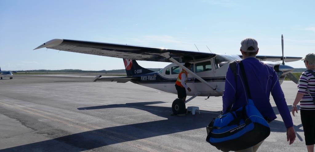
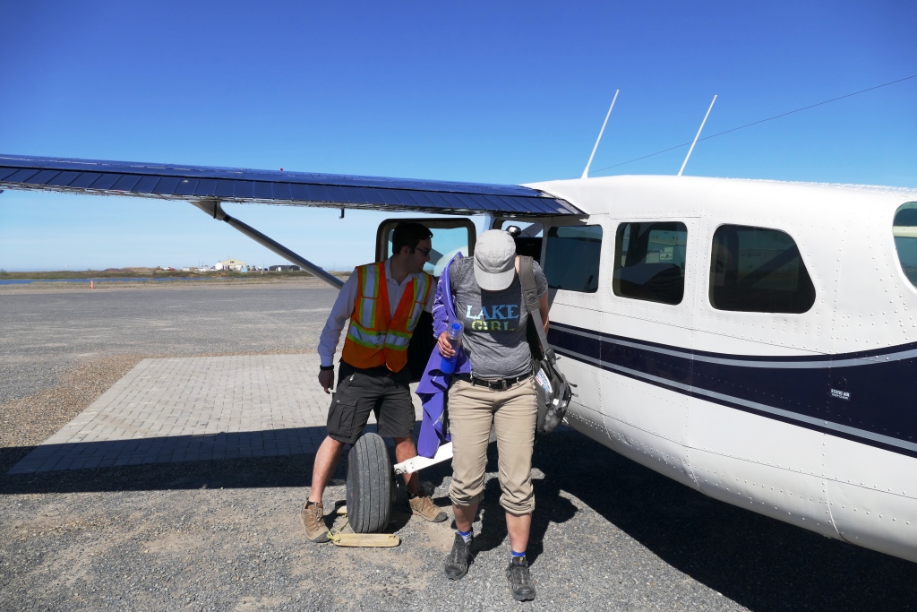
Karen and I approached the bush plane with a new-felt anxiety. While in Inuvik, many encouraged us to visit Tuk so Karen connected with an Inuvialuit company and we set up a fly-in through Tundra North Tours. Our plane felt smaller than a min-van and with the single propeller engine, I sucked in my gut to help launch us into air.
Tuktoyaktuk (Tuk) is the English version of the Inuvialuit Tuktuuyaqtuuk which means “looks like a caribou.” Tuk is connected by ice road for 3 months each year and is otherwise a fly-in community. In the winter, there is a road under construction to connect Inuvik and Tuk all year. Final completion date is set for 2019. We saw it stretching precariously through the tundra sea (below).
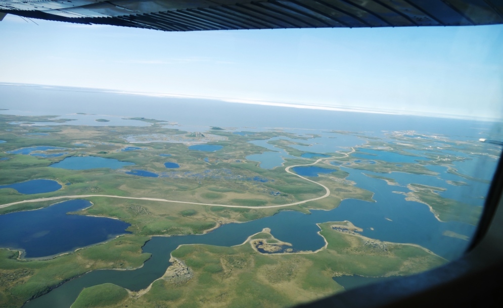
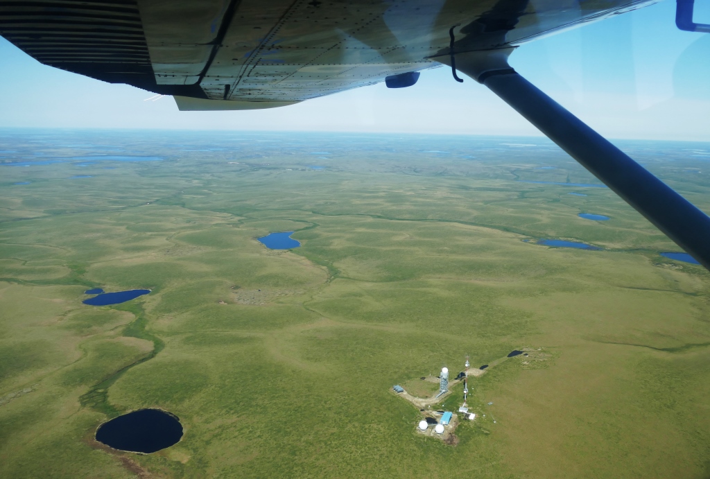

Quinton toured us over Arctic land and Beaufort Sea, dipping down to Cold-War era DEW Lines (above left).We flew over pingos and polygons (above right), seeing Ibyuk Pingo–the second largest in the world (below right). Pingos are land forms made by lakes. OK–another major WOW moment on our trip. This place is indeed fantastical –water transforms into land and the sun stands high for 56 days. (Pingos and Tuk geography)
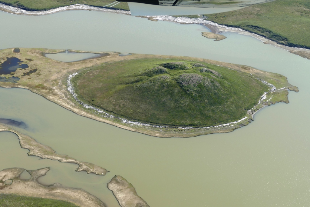
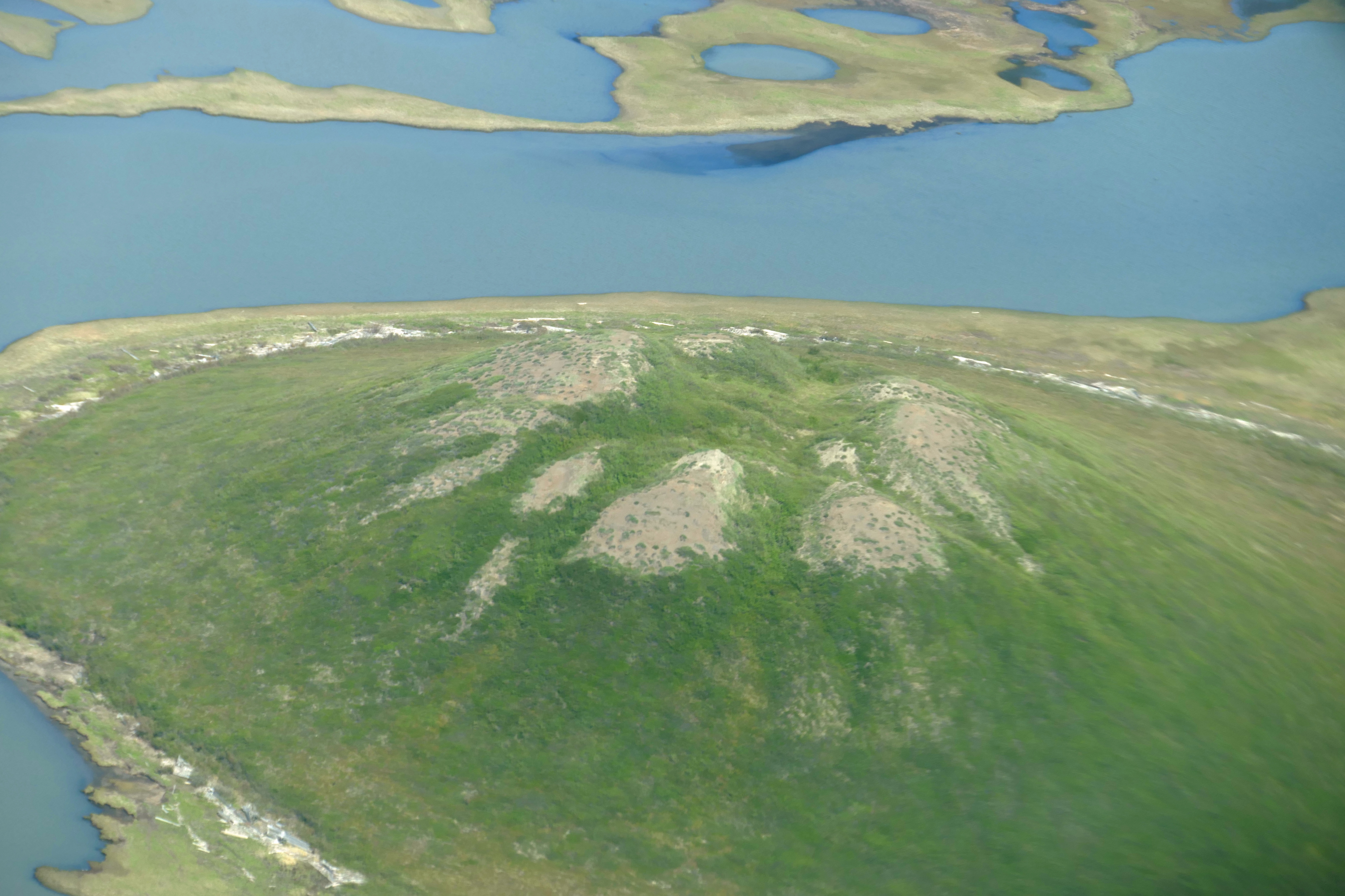

Above pics: Tuk “suburbs” and Ibyuk and other pingos; Karen ducks beneath wing.
Next post: Visiting Tuktoyaktuk
Coming Up: Our Bright Overnight Drive South down the Dempster or Just Us & plenty of the Grizzlies at 3AM!

Breathtaking!
LikeLike