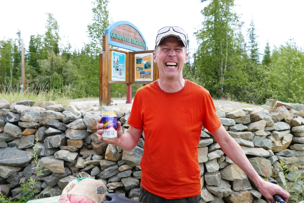
We stopped at the Dempster Highway signpost just as Malcolm was pulling in on his fat-tired bike stretching one arm up and shouting “I made it! I’ve done the Dempster!” Twelve days he spent cycling up north then down south along the windy and sometime slippery dirt and gravel road.
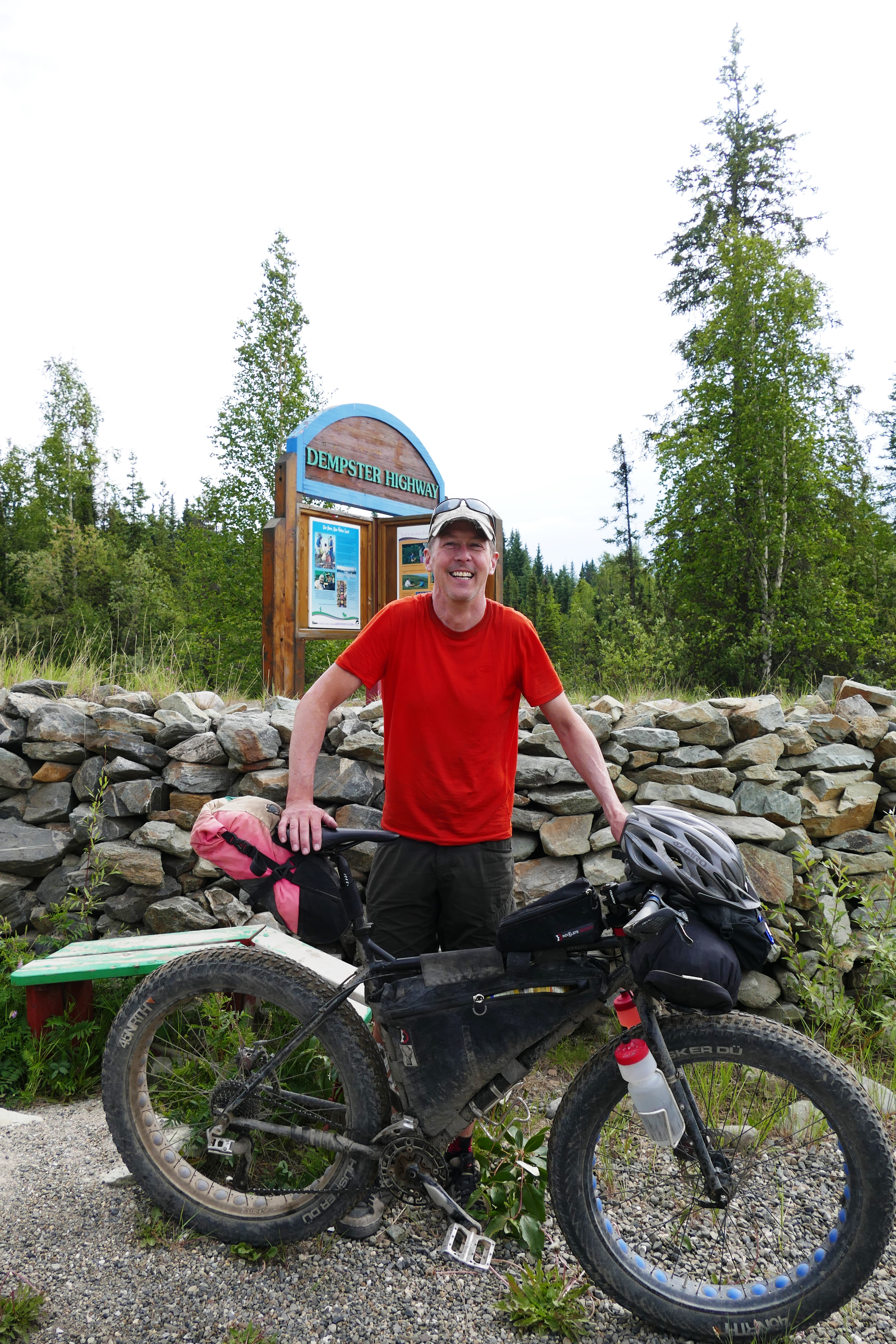
The 740 km narrow road is built on permafrost, dipping and curving through Arctic wilderness. In and out of mountain ranges and great tundra plains, it criss-crosses the continental divide. It was for this highway we brought the spare tires and 26-litre gas can.
We’ve met many travellers on our journey, most in campers and RVs and we’ve passed women and men pedaling steep Yukon stretches all alone. When people in the camper vans and RVs look at us with our little hatchback and tent accommodations, they wonder how we do it. Meanwhile, Malcolm has all equipment and food on his bicycle! We were delighted to witness his accomplishment and he was thrilled with the cold beer we proffered in celebration.
We talked about our journeys and the North. Malcolm is from St John’s Newfoundland and is in love with the North. To him, the North is magical– the vistas, the low population density, the outdoors all around you. He considers North to be wild and has travelled into the far reaches of northern Labrador where polar bears reside. “Now that’s North!” he said. Back in 2006, when hiking the Yukon Tombstones, he decided to return to bicycle the Dempster. His blog: Slow Biker.
We left Malcolm savouring his Yukon Gold brew and set our sights on camping and hiking in Tombstone Territorial Park. In Tombstone, we’re told that a mountain resembles the way north. The Yukon Parks Going Up North info sign explains that “The higher up you go, the farther north you are. As you climb look up a mountain, the vegetation shrinks as conditions become more extreme. Watch for the same changes as you drive farther north.” Tundra to Taiga to Boreal Forest to Sub-Alpine to Alpine Tundra to Snow and Scree.
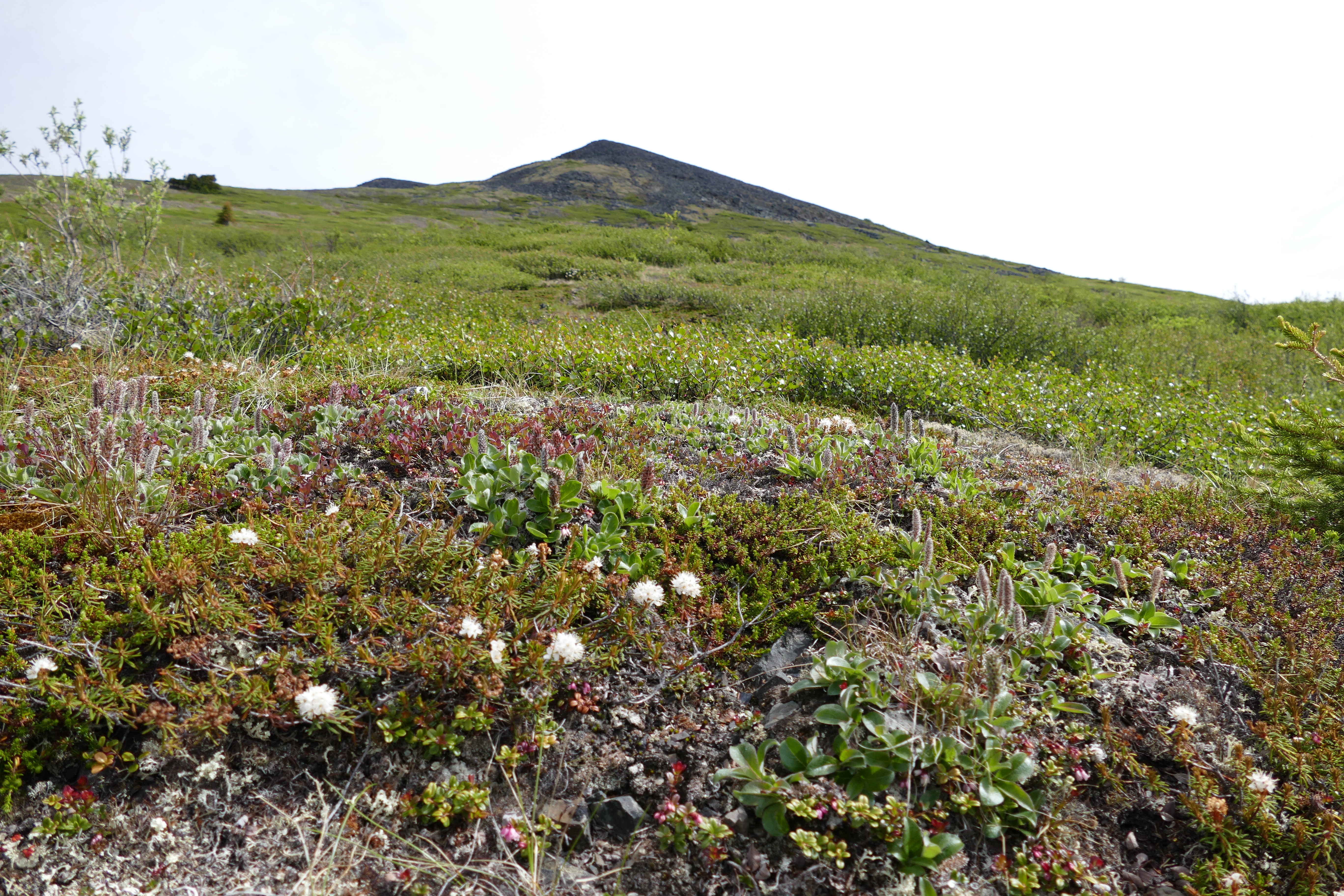

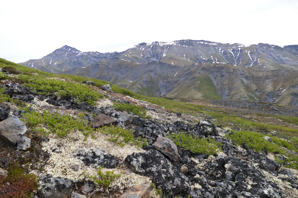
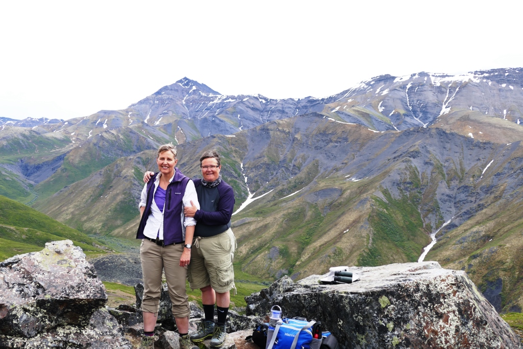
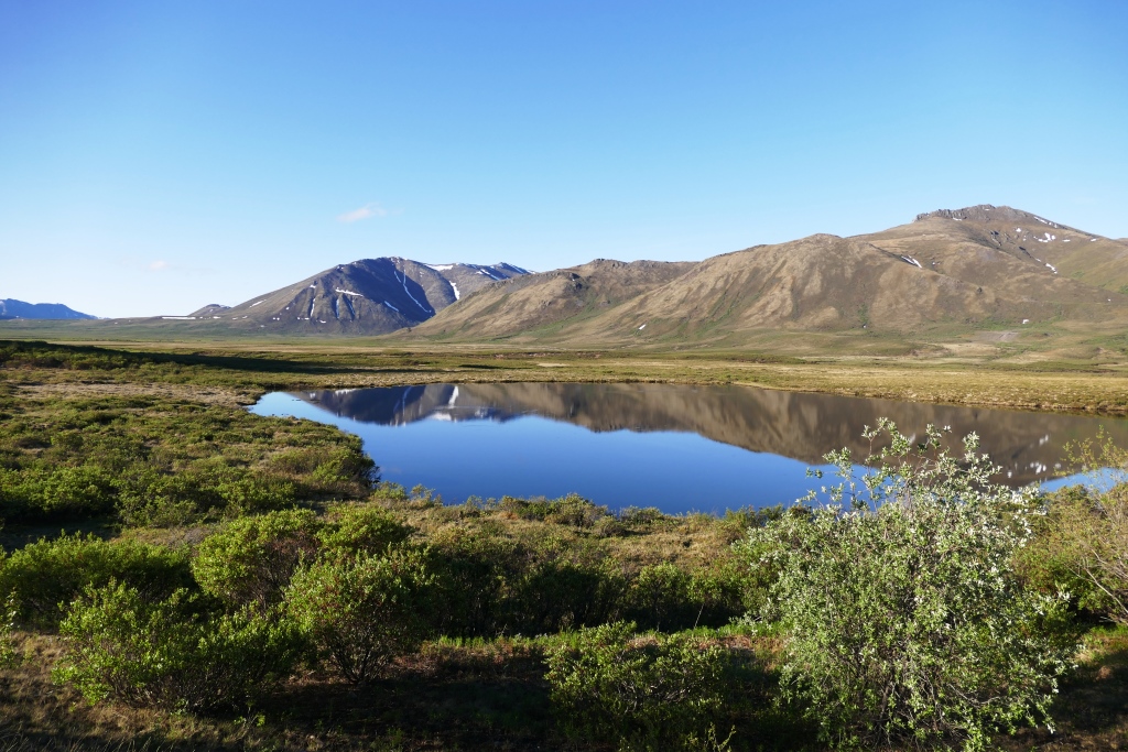
Tombstone: a fantastical place of mountain hikes, still snowy rivers and tundra. The continental divide passes through with its great spring and fall Caribou Migration and the shifting topography. An in-between place , our stay there gave us heat, rain, cool, and sleet. One night it warmed up around 11Pm when the sun came out. Bear warnings are vigilant including inside the outhouses and all the rangers carry bear spray with them–everywhere. We kept thinking is this just a liability issue—like really how bad can it be? and made jokes about bears knocking on the privy door. But then we talked with a ranger who said that indeed, grizzlies come into the campground which is why she will take anything food-related left unattended on your site–even cooking gear. Campers can retrieve their belongings at the visitor’s centre with a stern warning. Our early morning departure found us shaking ice off our tent and by mid-day we were commenting on the heat at Eagle Plain, just south of the Arctic Circle.
(Note–for photos, click to enlarge but then click your “Back” Button to return to this page)
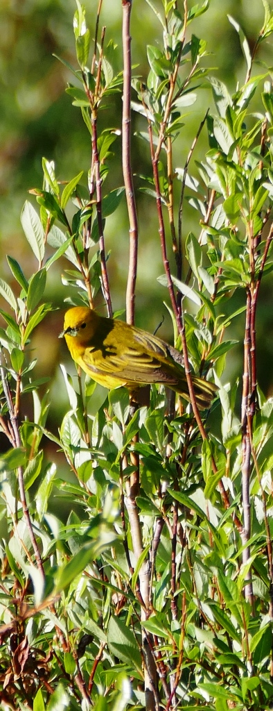
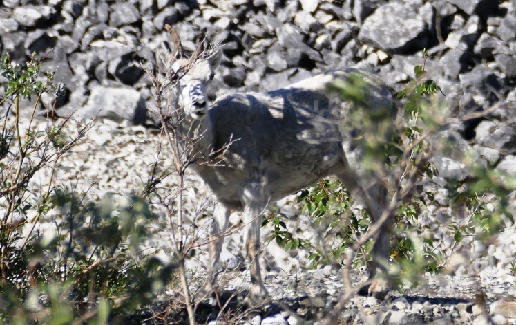
Some more Tombstone area photos along the Dempster Highway: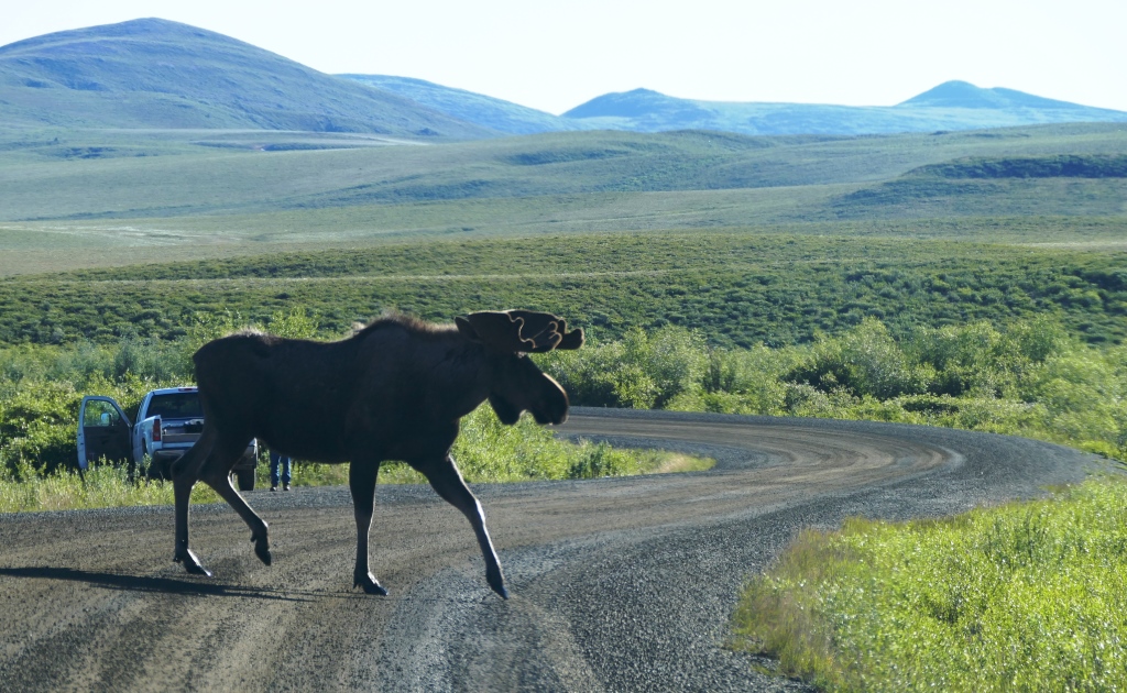


What the heck is scree?
LikeLike
The craggy stuff — rock and soil in the long process of being weather changed.
LikeLike
Fantastical indeed!
LikeLike